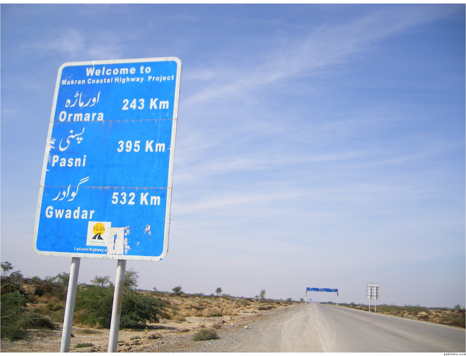
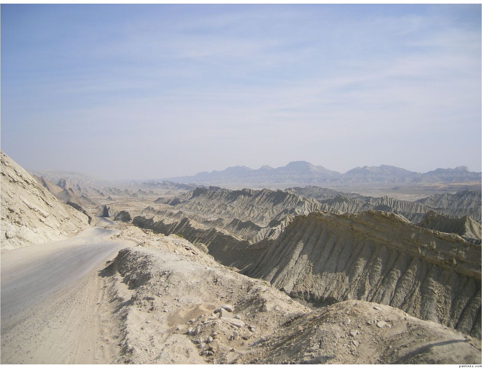
last year in december, we travelled along the Makran Coastal Highway, a memorable journey. major part of the highway passes through the “Hangol National Park”.
Start of the coastal highway, roughly arround 20-30 KM away from Hub city, we reached here via RCD Highway, which goes straight to Queta.
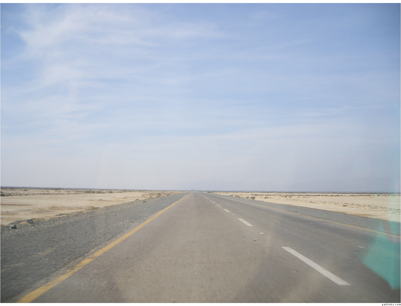
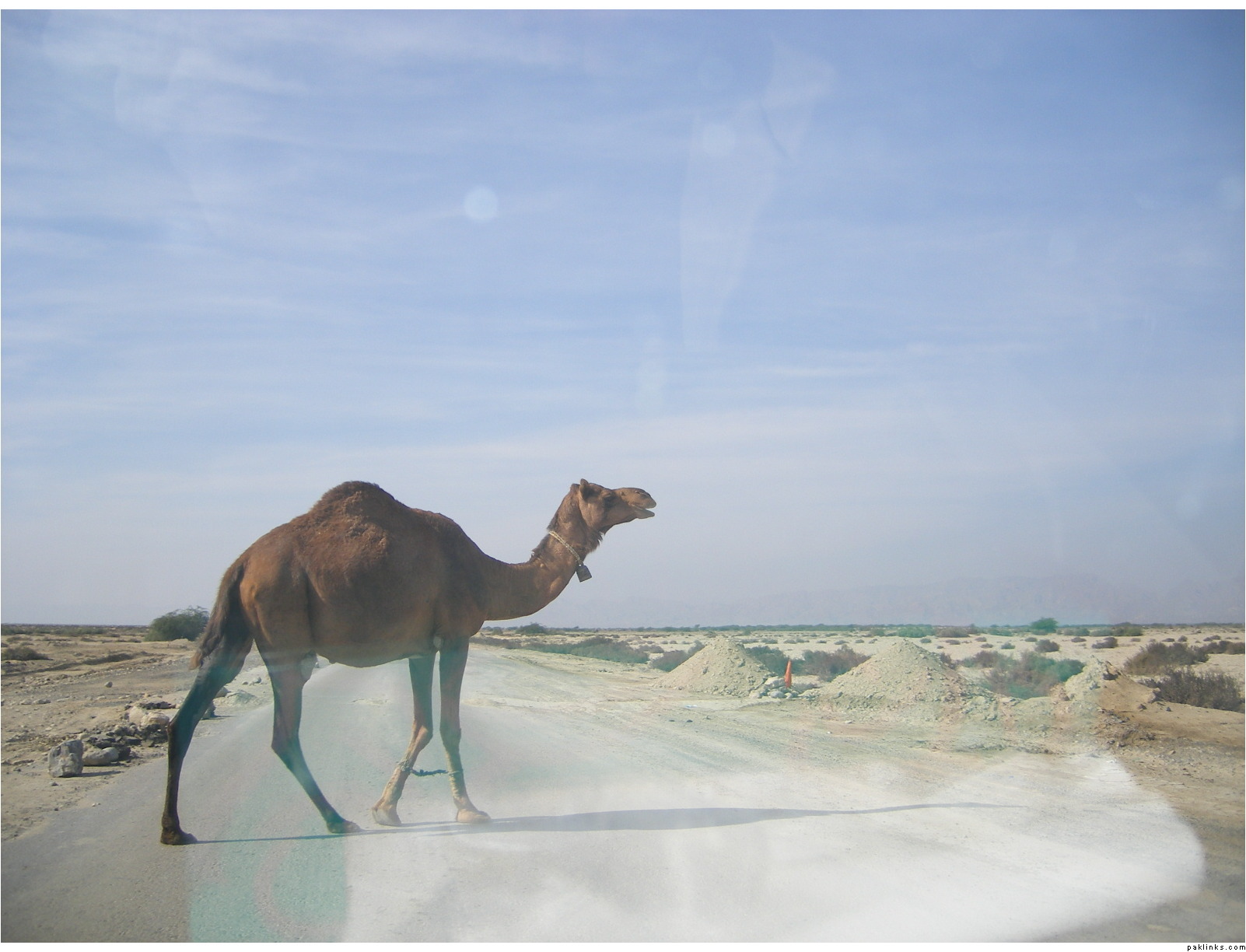
xcuz the bad picture quality, some of them are taken from within the car
pedestrian crossing…
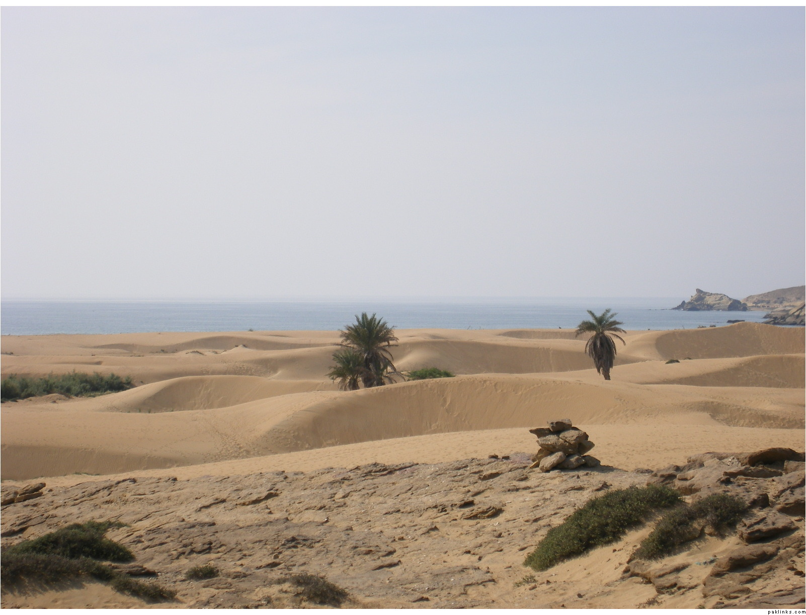
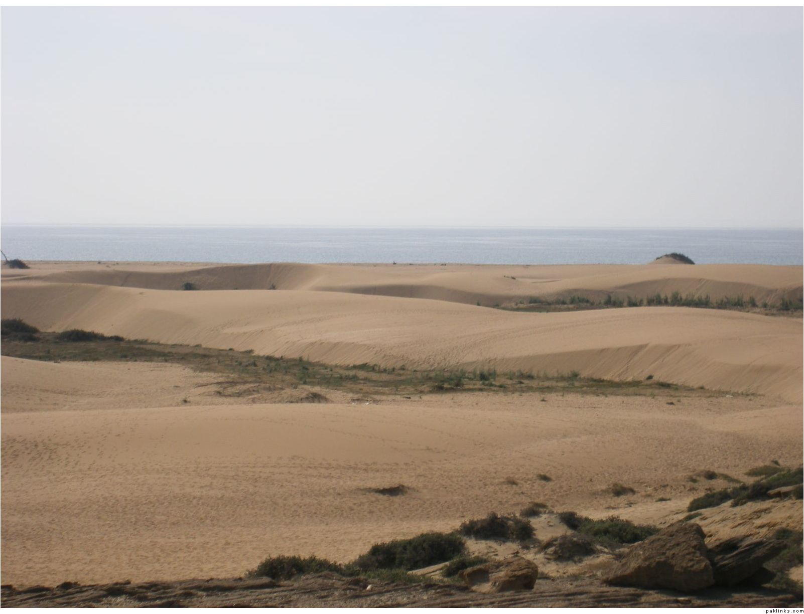
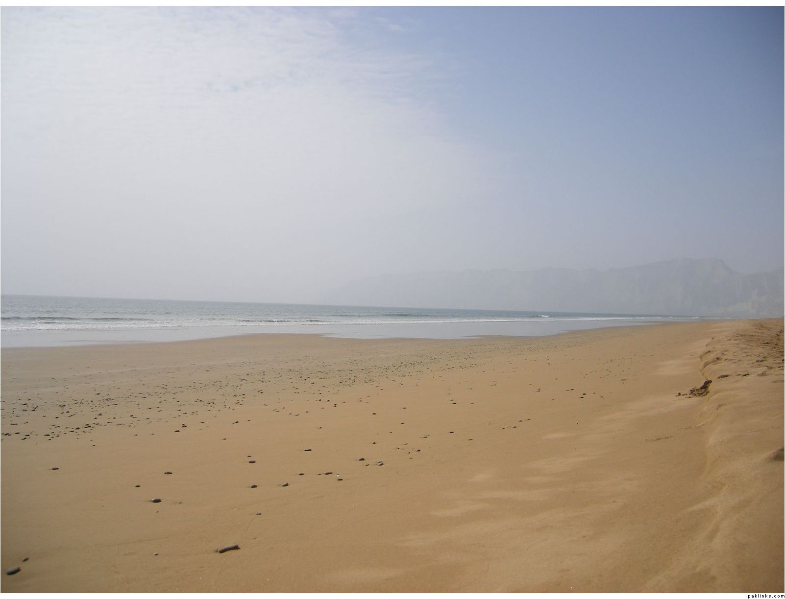
“Kund Malir” is the name of this place…
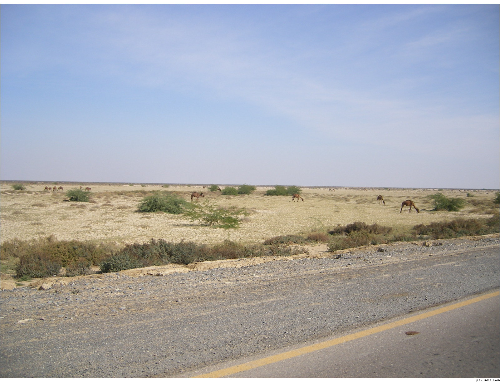
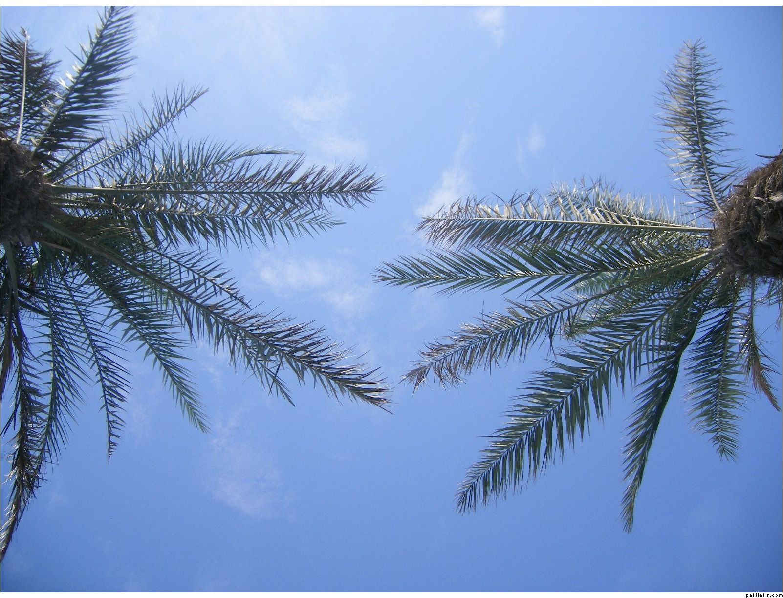
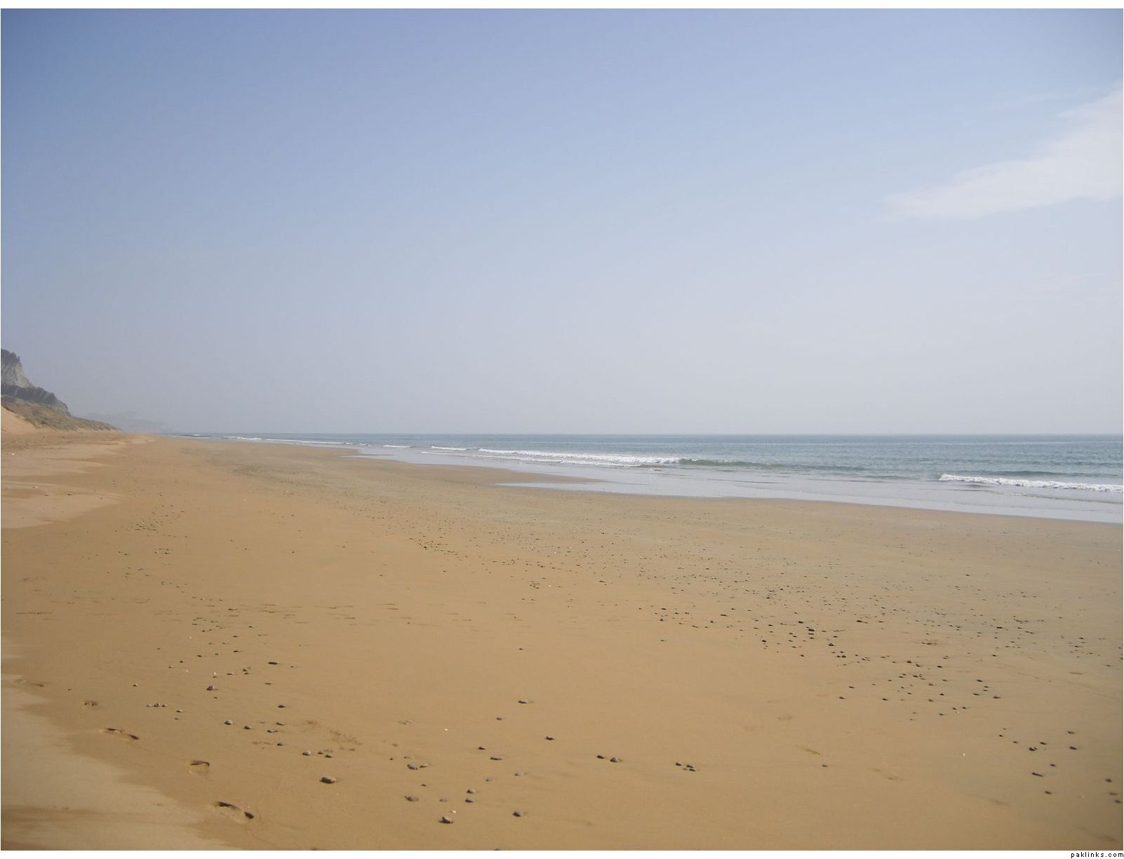
hills, desert, palm trees and clean beach, all at one place
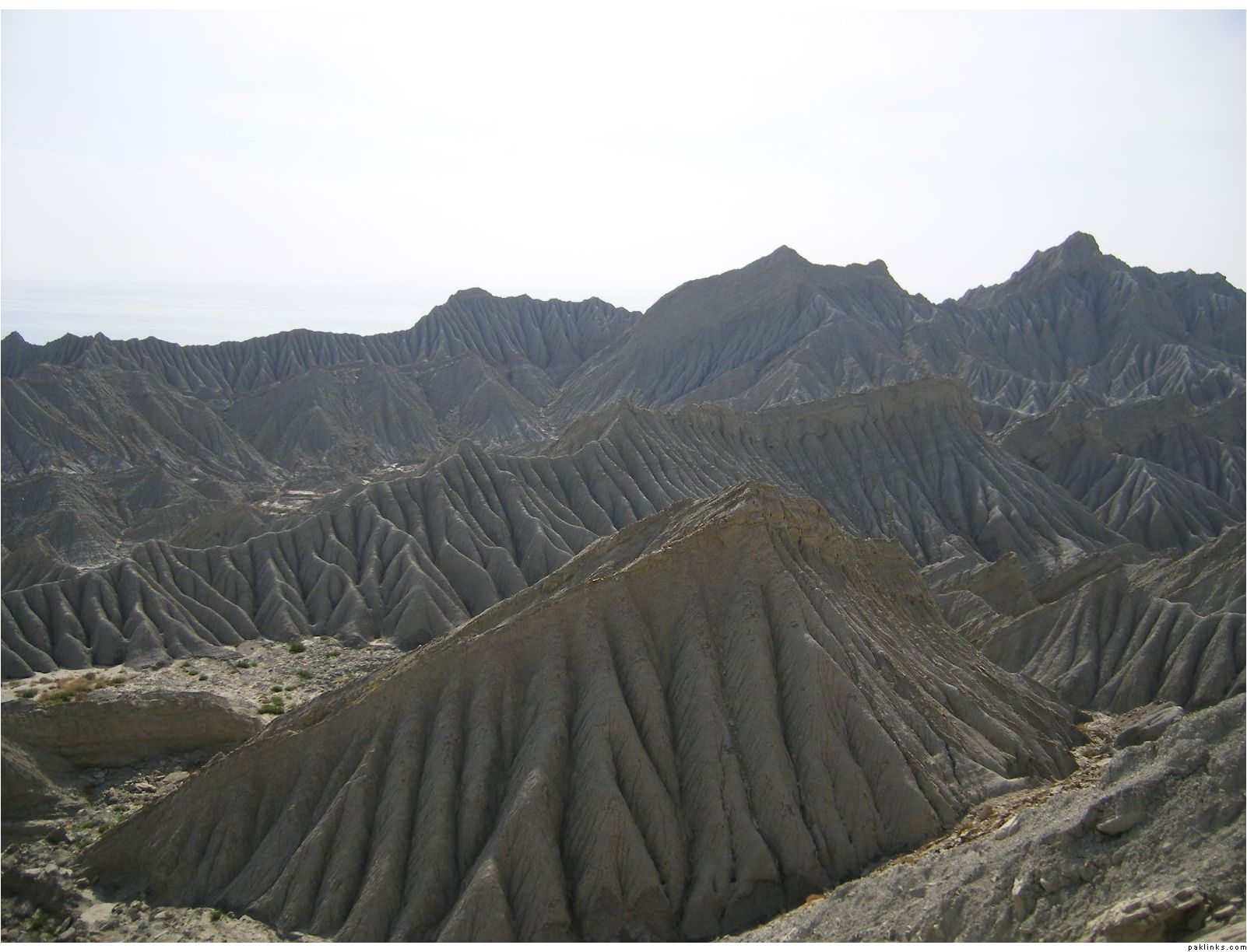
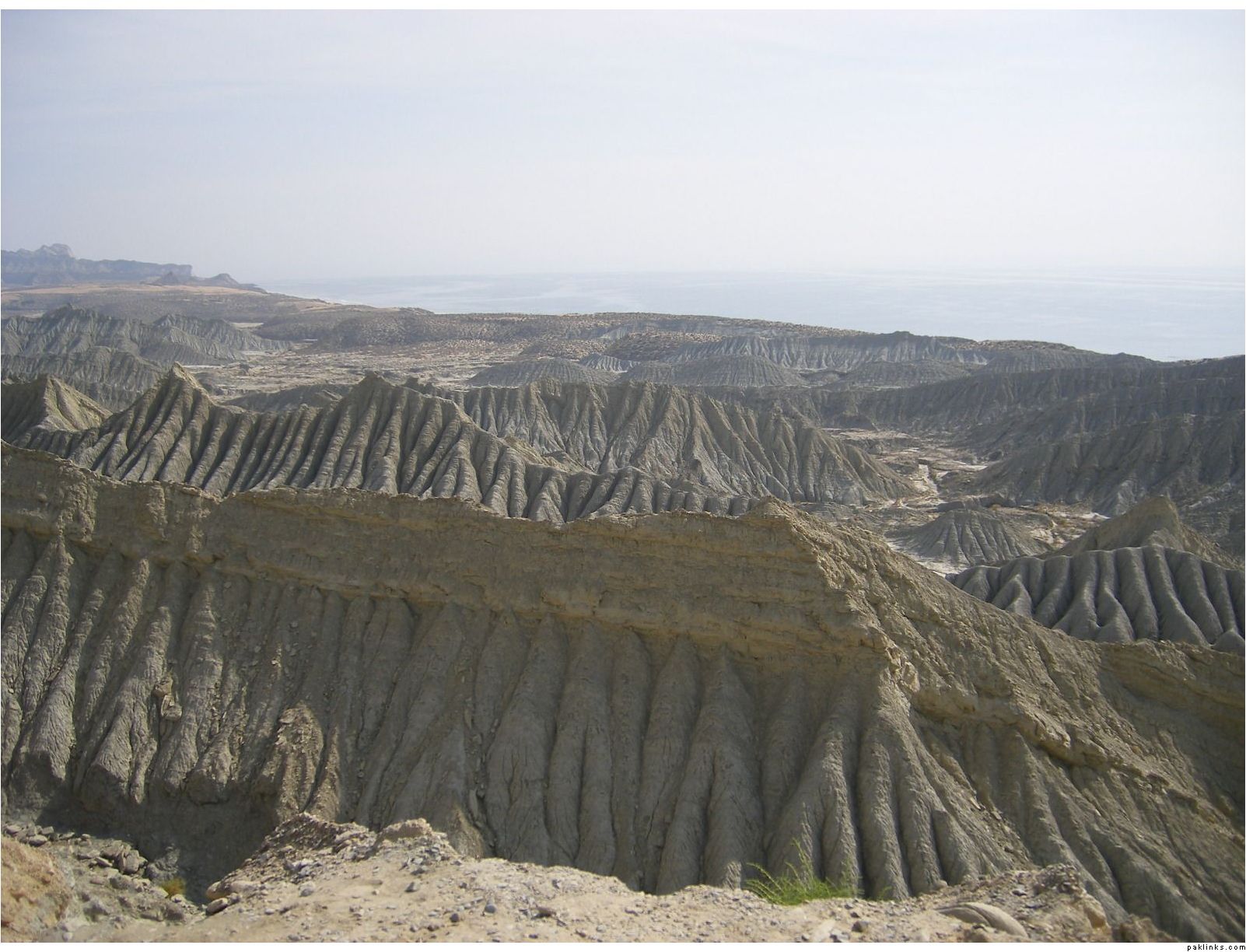
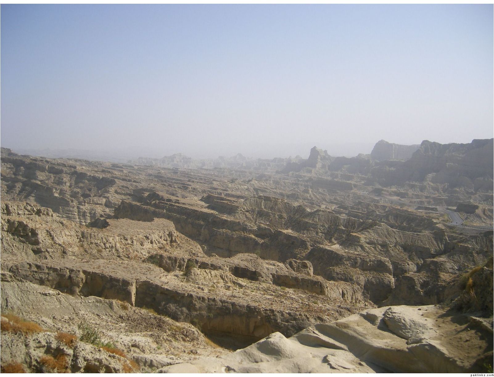
strange kind of hills (??) on the way
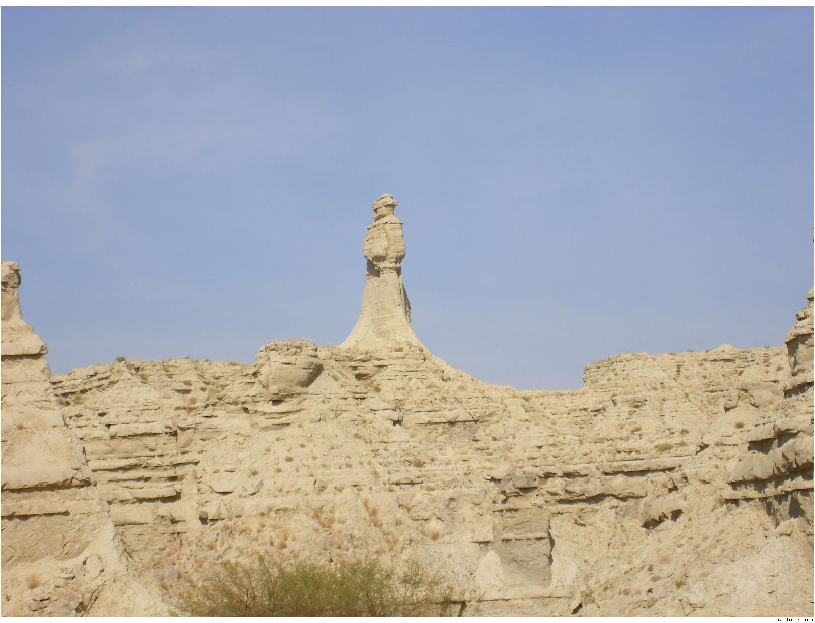
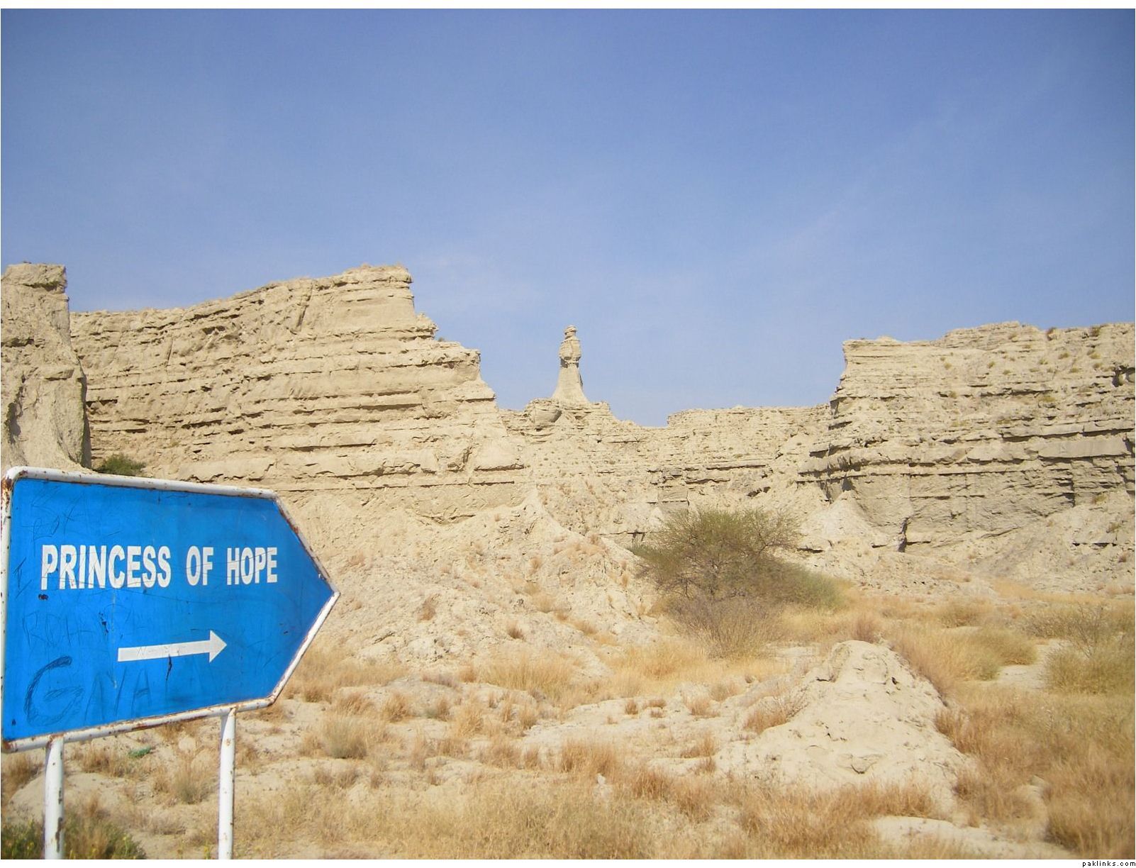
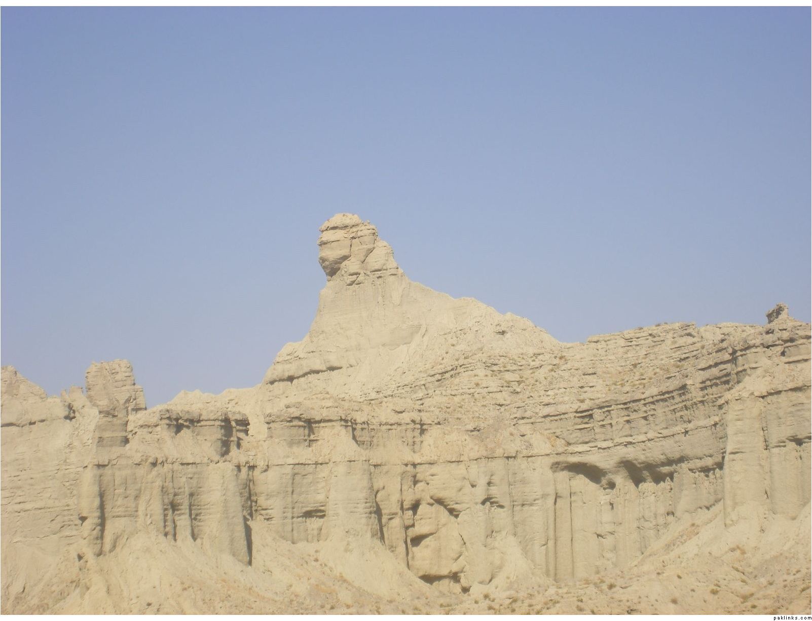
Princess of Hope, as they call this thing
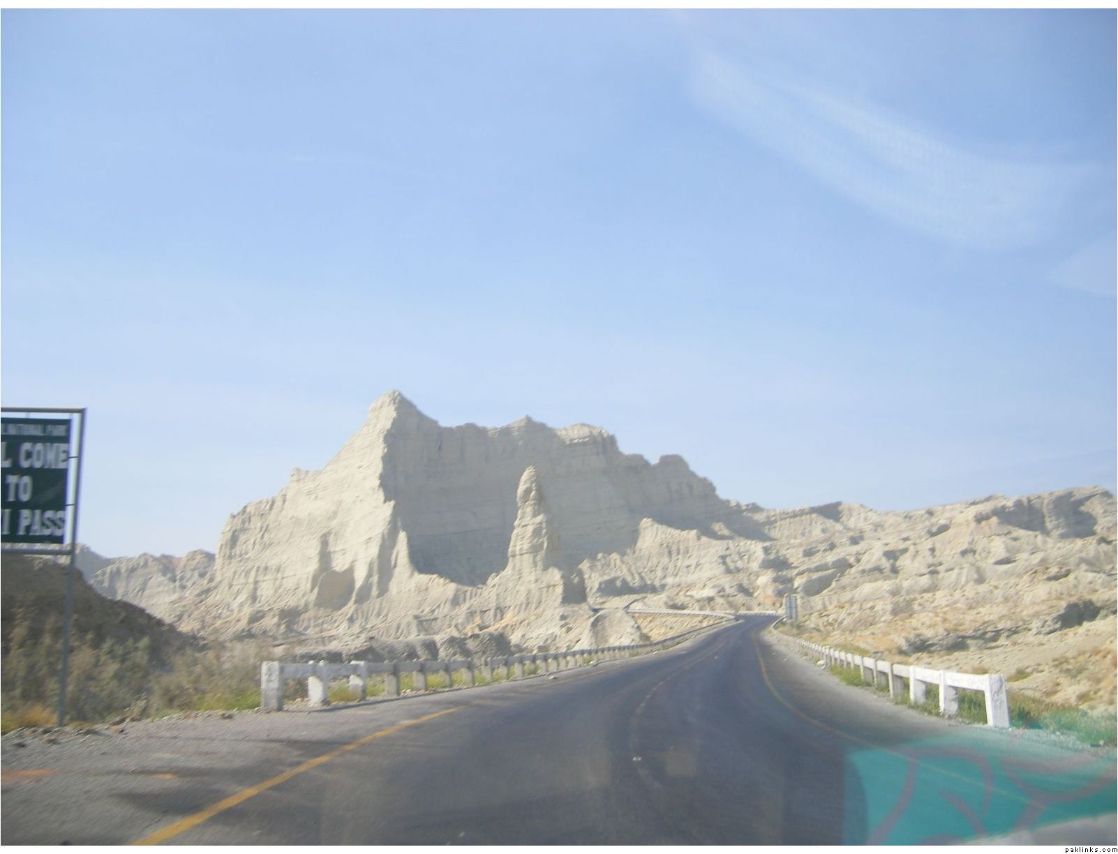
Buzzi Pass
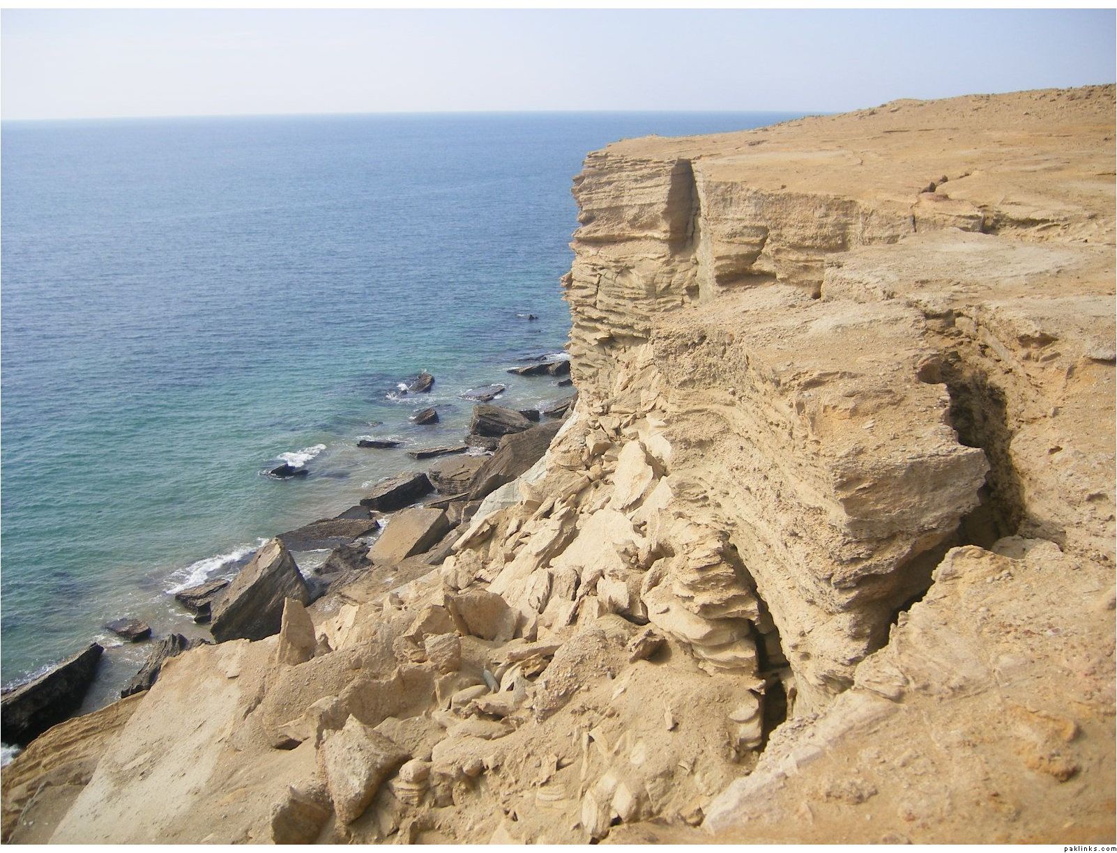
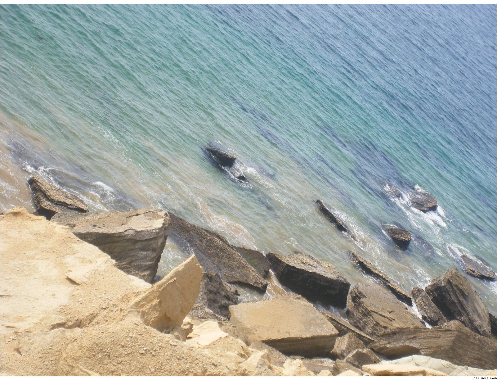
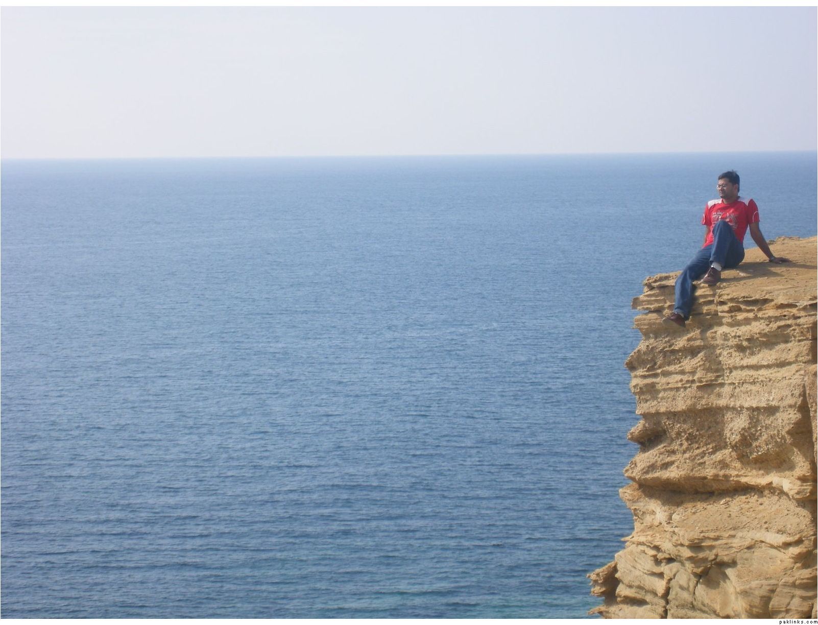
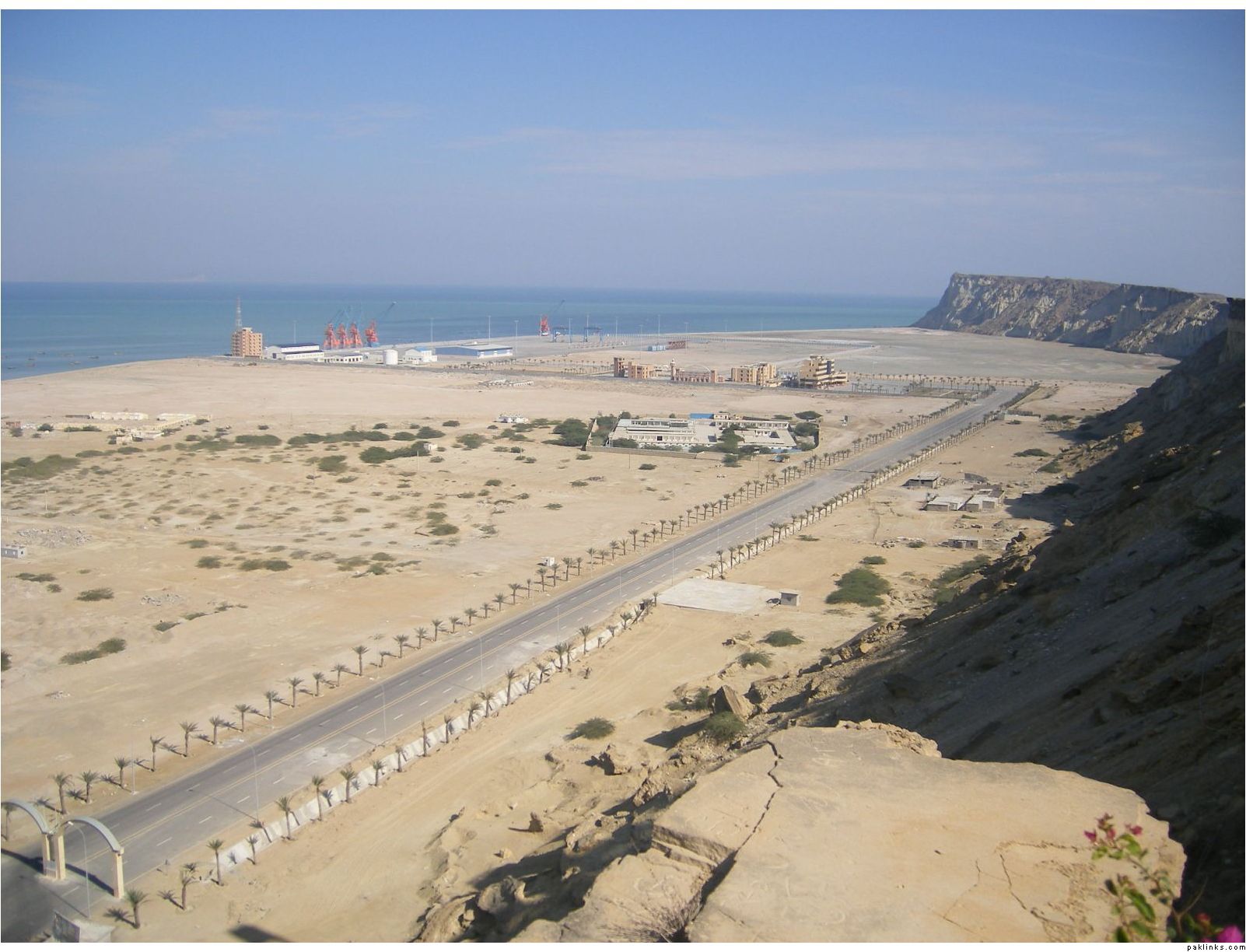
Koh-e-Batil’s 1000ft edge. Now we are in Gawadar.
my friend…
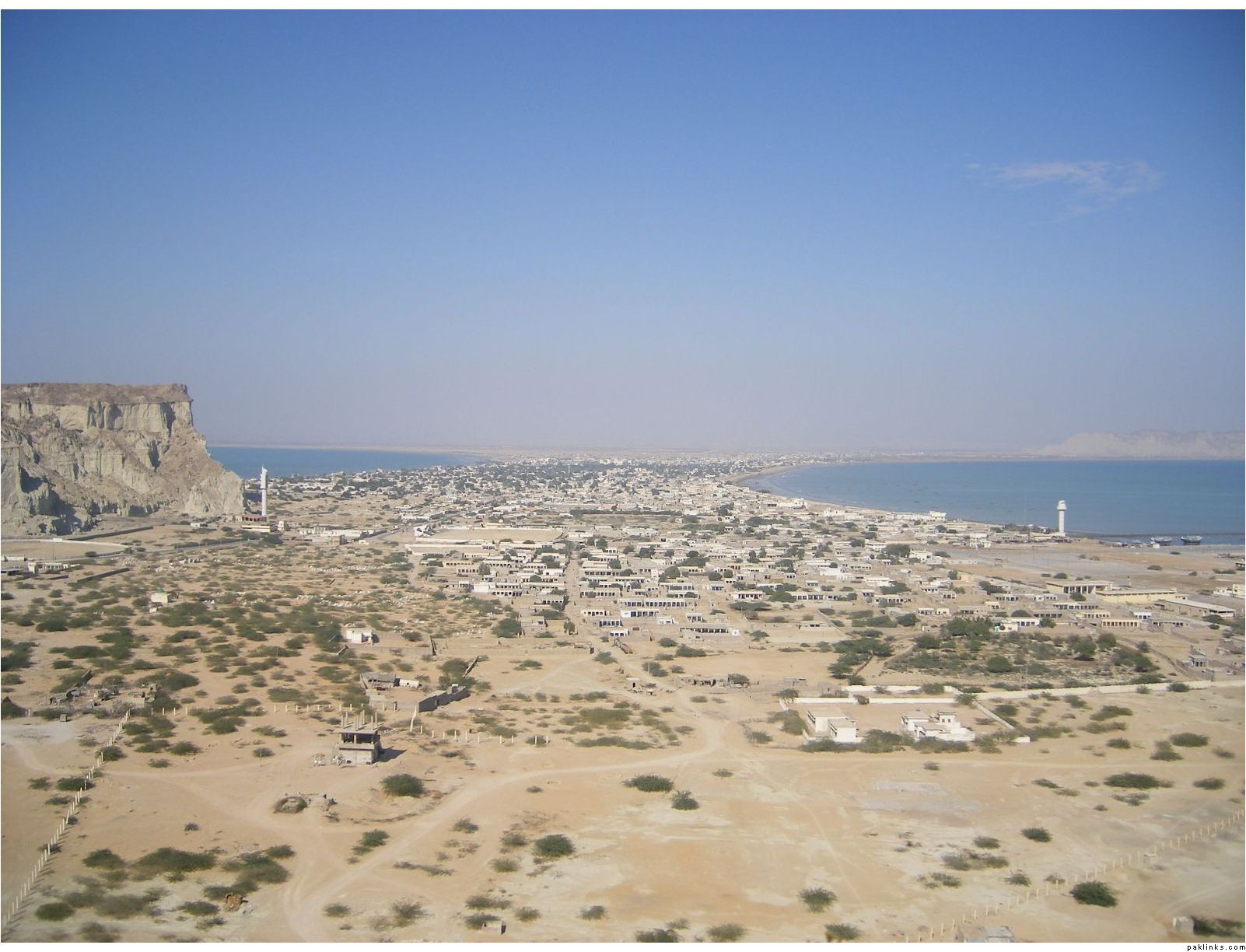
Gawadar city as seen from Koh-e-batil
so called gawadar port, which is not operational yet
the most stupid thing we noticed during our 2 days stay in the city was that, most of the city remains in dark (no electricity) through out night, except the 1-2KM piece of road which connects city to the port and a big big billboard with Busharaf’s picture on it, keeps shining bright with heavy lights…
Re: Travel Along Makran Coastal Highway - Dec 2007
^ U r right, electricity in that region is provided by Iran as people told, but unfortunately, when we visited last year, most of the time there was no electricity at night... specially on streets.
Mostar95: I left them out intentionally as I've only 2 of them, and both are very bad and out of focus.
Re: Travel Along Makran Coastal Highway - Dec 2007
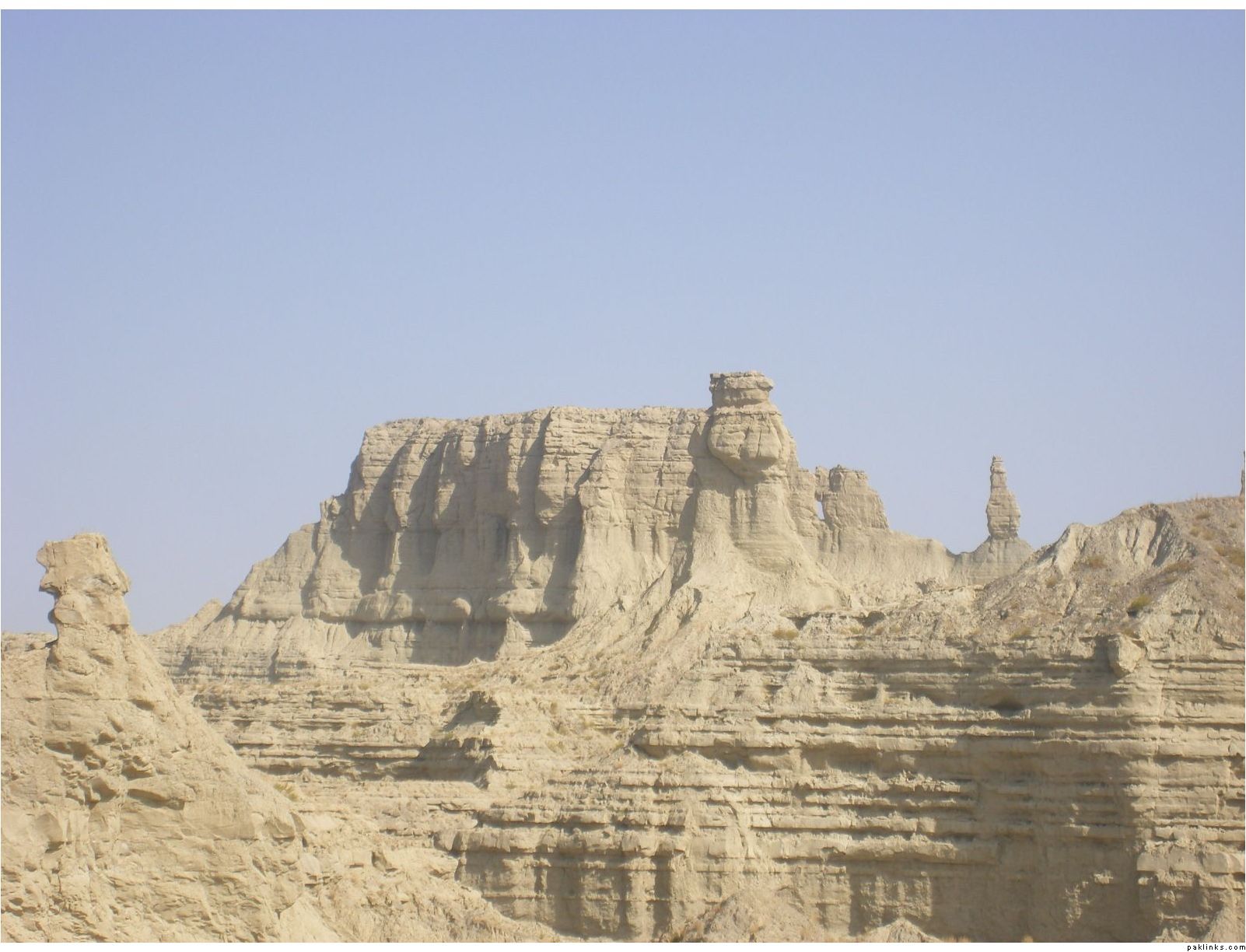
Amazing. Water colours ki to apni baat hay...but i am amazed by the rock formations. I wonder if those were created ages ago by flow of water in that area.
Amazing. Water colours ki to apni baat hay...but i am amazed by the rock formations. I wonder if those were created ages ago by flow of water in that area.
Rather they r by wind , I think .
There r similar shapes in the way from Riaydh to Madinah